Mapping and Surveying
-

Mapping and Orthophotography
A marvellous way to showcase your property or plan your next project - By stitching together multiple shots we can create a super high-resolution “Google Earth” style photographic map!
-

Contour and Surface Mapping
An invaluable tool for project planning - plot the lay of the land and see where you can find the best views, how water would run on a property and much more!
-
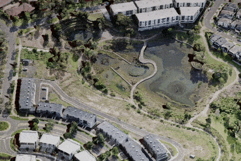
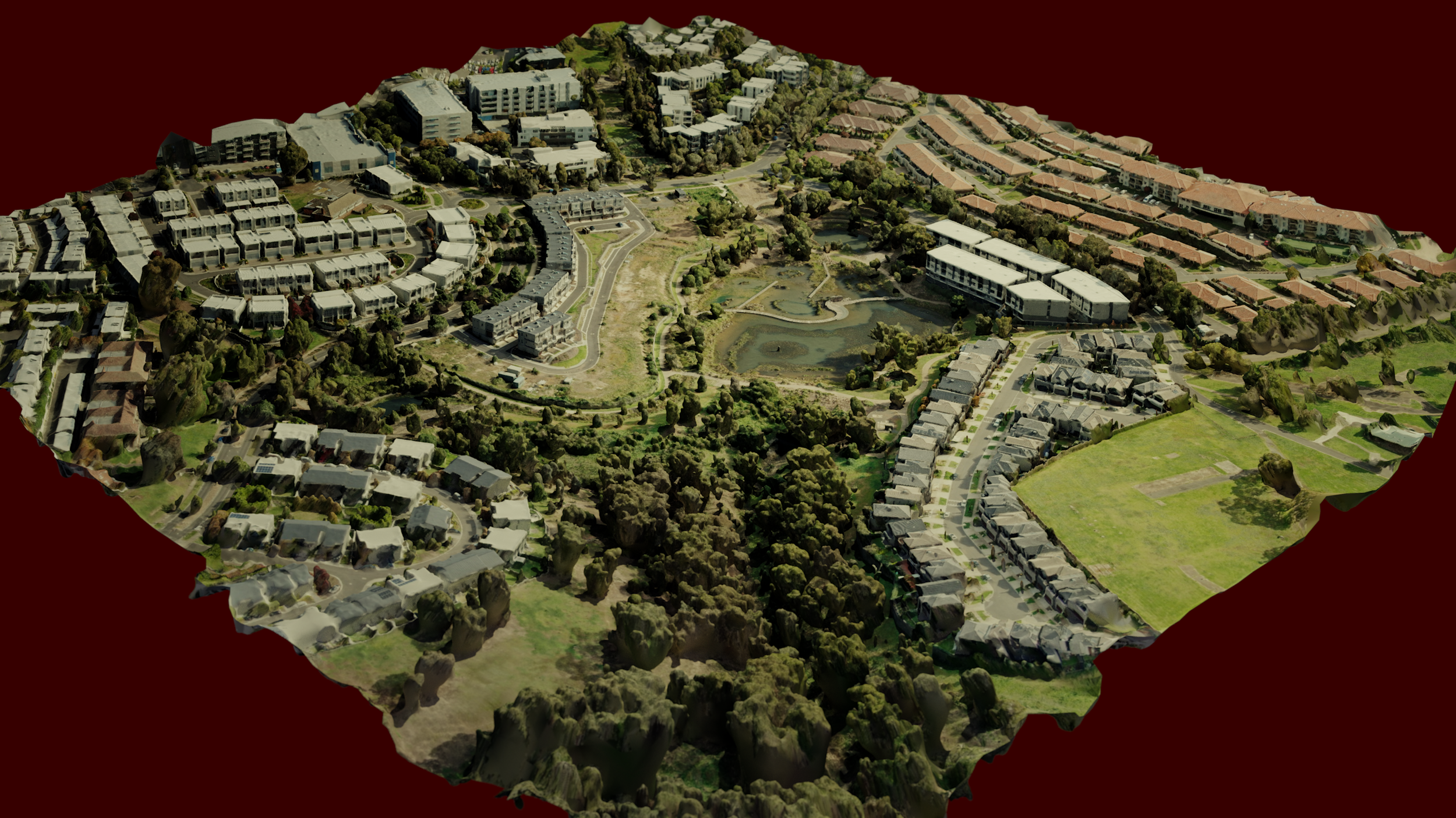
3D Modelling
The ultimate visualization tool - With our drone we can scan your property or a single building and create a 3D Model that can be used in animations, advertising and professional presentations!
-

Plant Health Estimation
Identify problem areas at your farm or your rural property with our handy visualization too, using algorithms such as VARI to estimate the health of your crops or local vegetation.